> cat /var/log/build.log
JOURNAL
Build logs from the workshop — digital twins, survey-grade 3D, procedural systems, and the mistakes that taught us the methodology.
The Road Film
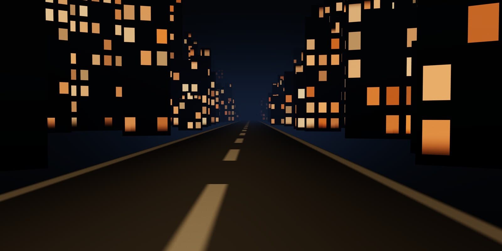
A client site now opens as a four act film you scroll: 133 pre-rendered plates fall toward a city, 41 more stand the camera up out of the fall, and a live three.js corridor carries the last 55% of the page to a horizon. The hard cut between the two plate sequences is 1.72 of 255 wide, which is why it is allowed to be a cut.
> read_entry --full ▮
The Crown
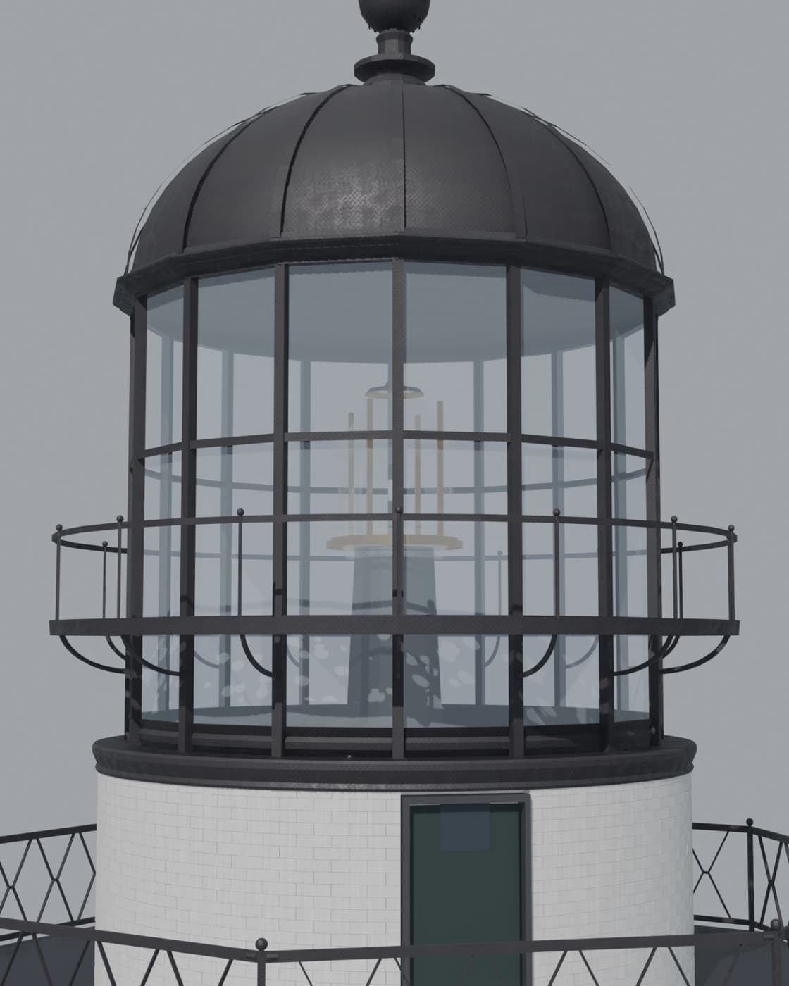
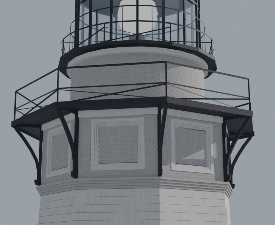
The black glass-and-iron cap is a quarter of the tower and most of its identity. The 1860 sheet that governs it is torn exactly where it needed to be precise — so the lantern was re-solved from its base up, its lost faces recovered by the octagon's eightfold symmetry, every dimension logged to the sheet it came from.
> read_entry --full ▮
The Keeper's Hand
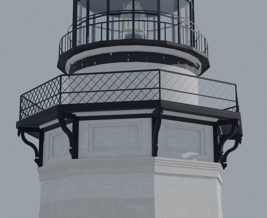
The archives drew the bracket too small and the photographs shot it too oblique — so the final curve was drawn by hand in a live viewport, faired to compass arcs, and cast eight times in iron.
> read_entry --full ▮
The Mason's Arithmetic
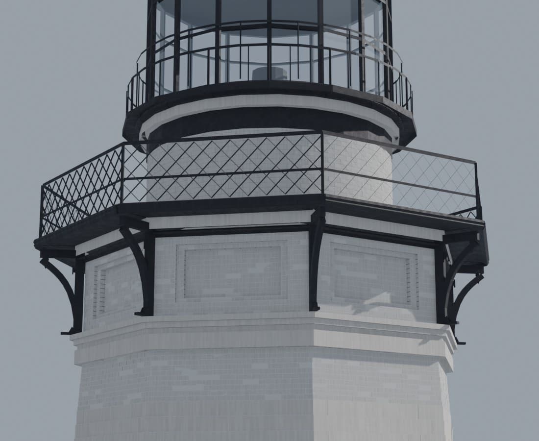
Our lighthouse's crown looked almost right — the most dangerous kind of wrong. An 1860 wash-profile scan, one section cut, and eighteen counted brick courses later, the frieze stands plumb.
> read_entry --full ▮
The Lighthouse, Brick by Brick
3,874 blocks, 3,700 bricks, a 48-pane lantern counted from photographs — then the National Archives' 1860 drawings arrived and the tower had to answer to its own paper trail.
> read_entry --full ▮
From PS2 to Photoreal in One Day
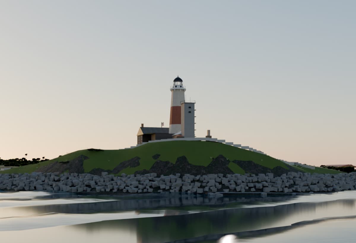
Our digital twin of Montauk Point looked like an early PS2 game. One day later it did not. The ladder: path tracing, a physical sky, procedural trees, and a living ocean.
> read_entry --full ▮
We Measured a Lighthouse From Space
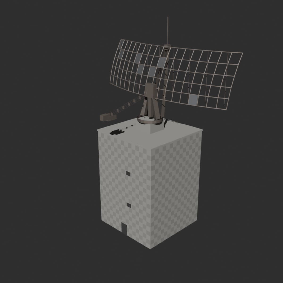
Survey documents said 110 feet 6 inches. Photogrammetry said 34 meters. A public lidar point cloud settled it to within one percent — and taught us a measurement doctrine.
> read_entry --full ▮