We Measured a Lighthouse From Space
Survey documents said 110 feet 6 inches. Photogrammetry said 34 meters. A public lidar point cloud settled it to within one percent — and taught us a measurement doctrine.
The Montauk Point Lighthouse is 110 feet 6 inches tall. We know because an 1860 survey drawing says so. We really know because we measured it three independent ways — a 165-year-old drafting table, a modern drone photogrammetry scan, and an aerial lidar point cloud — and all three agree to within one percent.
That redundancy is the point. Early in the project we set a standing doctrine for the digital twin: every measurement is anchored to a named reference object, every unit system is verified empirically before a number enters the record, and sources rank — lidar beats photogrammetry beats drawings beats photos beats press. When three chains of evidence that share no equipment, no era, and no failure modes land on the same number, you stop modeling a guess and start modeling a fact.
The satellite-grade referee
The United States Geological Survey publishes aerial lidar point clouds for most of the country — free, public, sitting in a cloud bucket. For our corner of Long Island: a 2014 flight, centimeter-class returns, millions of points.
We streamed 1.4 million points around the lighthouse complex and asked simple questions. Ground elevation at the keeper's house? Roof elevation? Subtract: 34.8 feet — our rebuilt house was right. The 1942 fire-control tower: 56.6 feet — our model said 60; the model lost, lidar won, the correction shipped that hour.
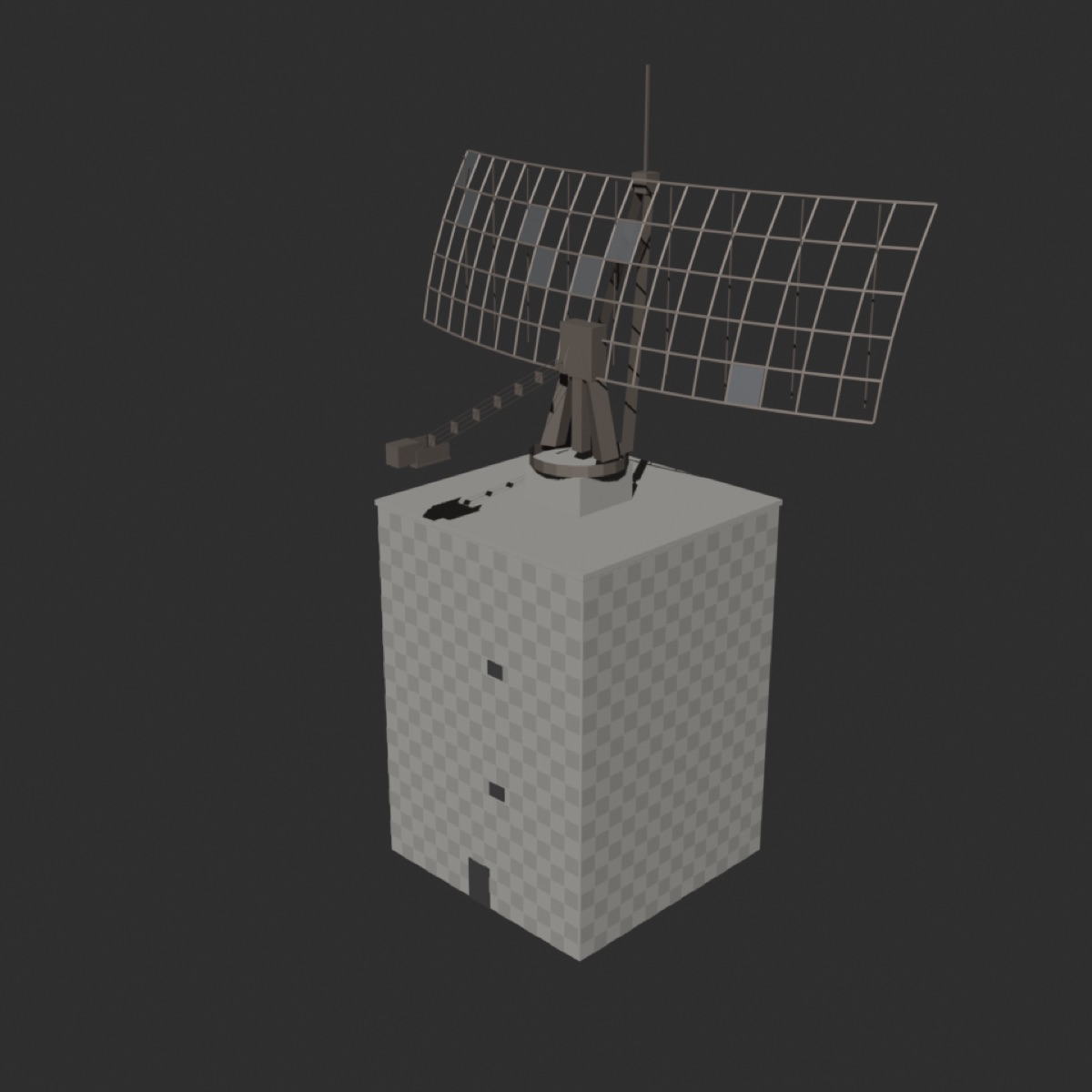
Then the Cold War radar a mile west. The lidar said its structure topped out 150.9 feet above ground; our independently-built model said 153.5. Two percent. The 126-foot antenna? Lidar saw 118.8 feet of it through the corroded, mostly-open truss — and a mysterious spike of returns at 174 feet that made no sense until a photograph revealed the thin mast still standing on top of the sail. The point cloud had been telling the truth the whole time.
Why bother
Because a twin you can trust is a different class of object than a model that looks right. Every number in ours lives in a registry with its source and confidence attached, and the 3D geometry reads from the registry — a number typed inline in a build script is, by law, a defect.
That discipline is what lets the same model serve art prints, animation, a historically-gated game world (the 16-inch coastal guns and the radar never coexisted — the model refuses to show them together), and whatever comes after. Truth compounds. Guesses don't.
Built by SeaRaven Studios. Full methodology — the registries, the lidar pipeline, the conflict audit that found the same tower at four different heights in one codebase — coming in the methods series.