> tail -f /foundry/wall.log
THE LAB
The workshop wall. Two programs are on the bench: Digital Montauk, a survey-accurate digital twin of the point built in public, and client work in survey-grade 3D and scroll-driven film. This wall shows what is on the bench right now.
SeaRaven Foundry · Digital Montauk · 41.0709 N · 71.8572 W · NAVD88 ft · registry 236 subjects · updated 2026-08-21
▶ On the bench
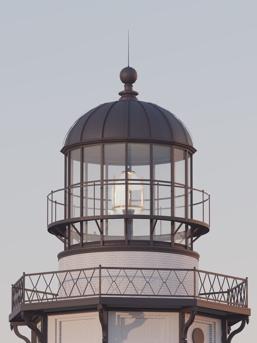
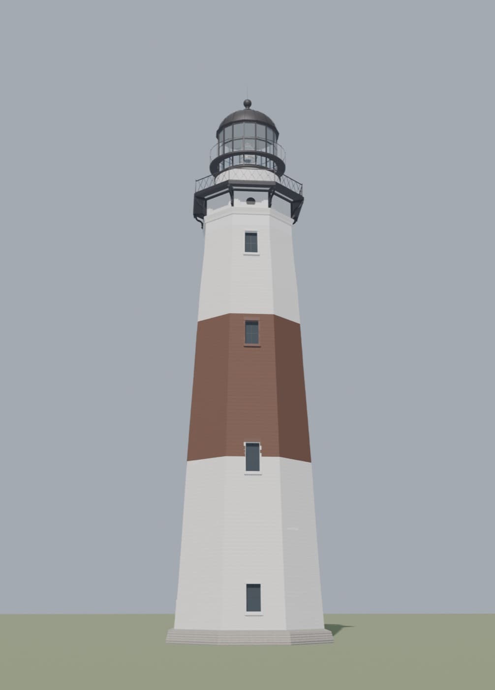
BENCH-0 · the fidelity gate · indistinguishable-to-a-local
The bar: a render a Montauk local cannot tell from a photograph, and nothing ships as product below it. The machinery: 102 numbered verdicts from a human eye, each cross-checked against the 1860s drawings before geometry moves; a 24-agent adversarial audit tracing every builder constant to its registry source; paint calibrated in a closed loop against reference photographs to 1.3%; a structural-similarity instrument that localizes every change. The claim is now under a sealed test rather than an opinion: a two-alternative forced-choice kit frozen on 2026-08-13, 4 scored pairs and 2 catch trials, answers never stored but re-derived from a seed at scoring time so that opening the kit is itself recorded. The drawings keep winning arguments; the walkway pattern the eye flagged turned out to be cast into the 1860 segment plan all along.
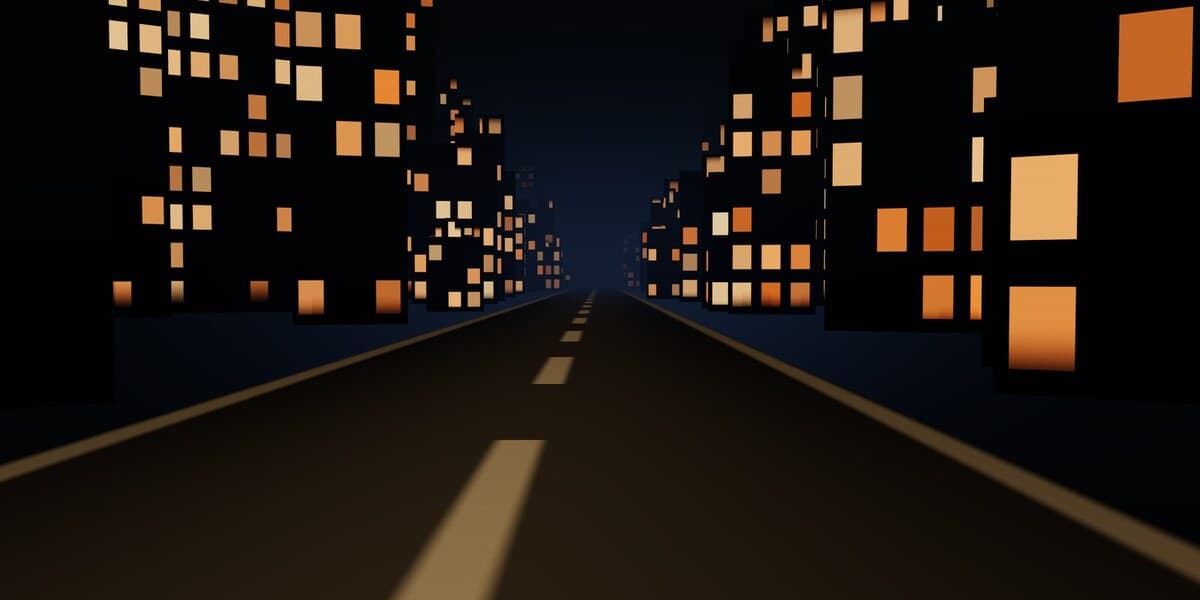
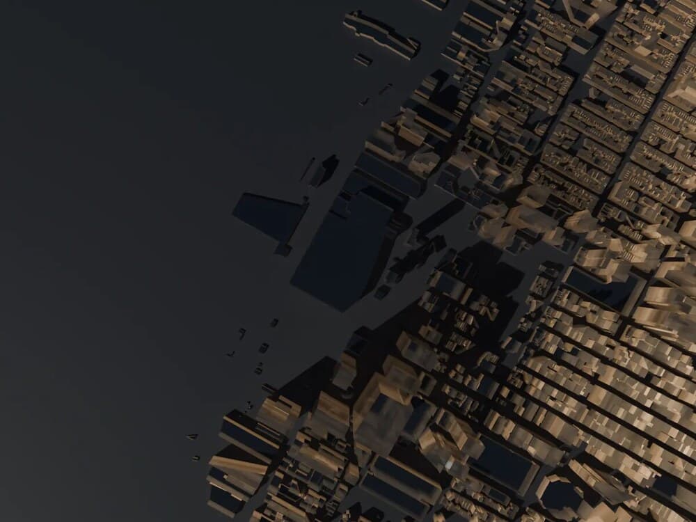
BENCH-4 · the road film · client work
A four act film you scroll, shipped 2026-08-20 for a wellness education practice. One scroll scalar owns everything: 133 pre-rendered plates fall toward the city, 41 more stand the camera up out of the fall, and a live three.js corridor carries the last 55% of the page to a horizon. The join between the two plate sequences is a hard cut because it was measured at 1.72 of 255, against ordinary neighbouring steps of 11.12 and 22.07, so a cross fade would have hidden nothing. The pacing was fixed by inverting a flow measurement rather than by feel, and the plate-to-live seam was placed by photographing it in three layers at every step of its window.
BENCH-1 · the lighthouse itself · block by brick
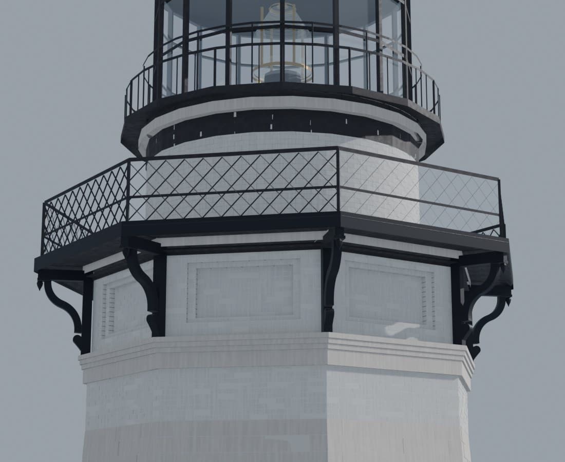
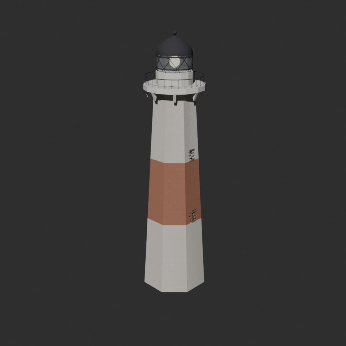
Built the way it was built: 3,874 sandstone blocks in coursed ashlar, 3,700 more bricks through the frieze and watch drum, a plumb frieze standing on eighteen counted brick courses with its panels framed in the bond itself, pierced scroll brackets carrying the walkway, a 48-pane lantern confirmed by the National Archives sheets — and windows placed by an 1853 keeper's survey, alternating with the spiral stair. Rebuilds from a bare clone with one command.
BENCH-2 · AN/FPS-35 radar · two era states
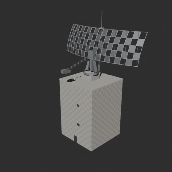
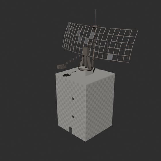
Documents-grade rebuild from declassified 1945 engineering sheets, archival photography, and a 2014 lidar audit. Doubly-curved reflector, waffle-rib tower, era toggle: in-service vs. as it stands today. Mast tip lands within one foot of the lidar return.
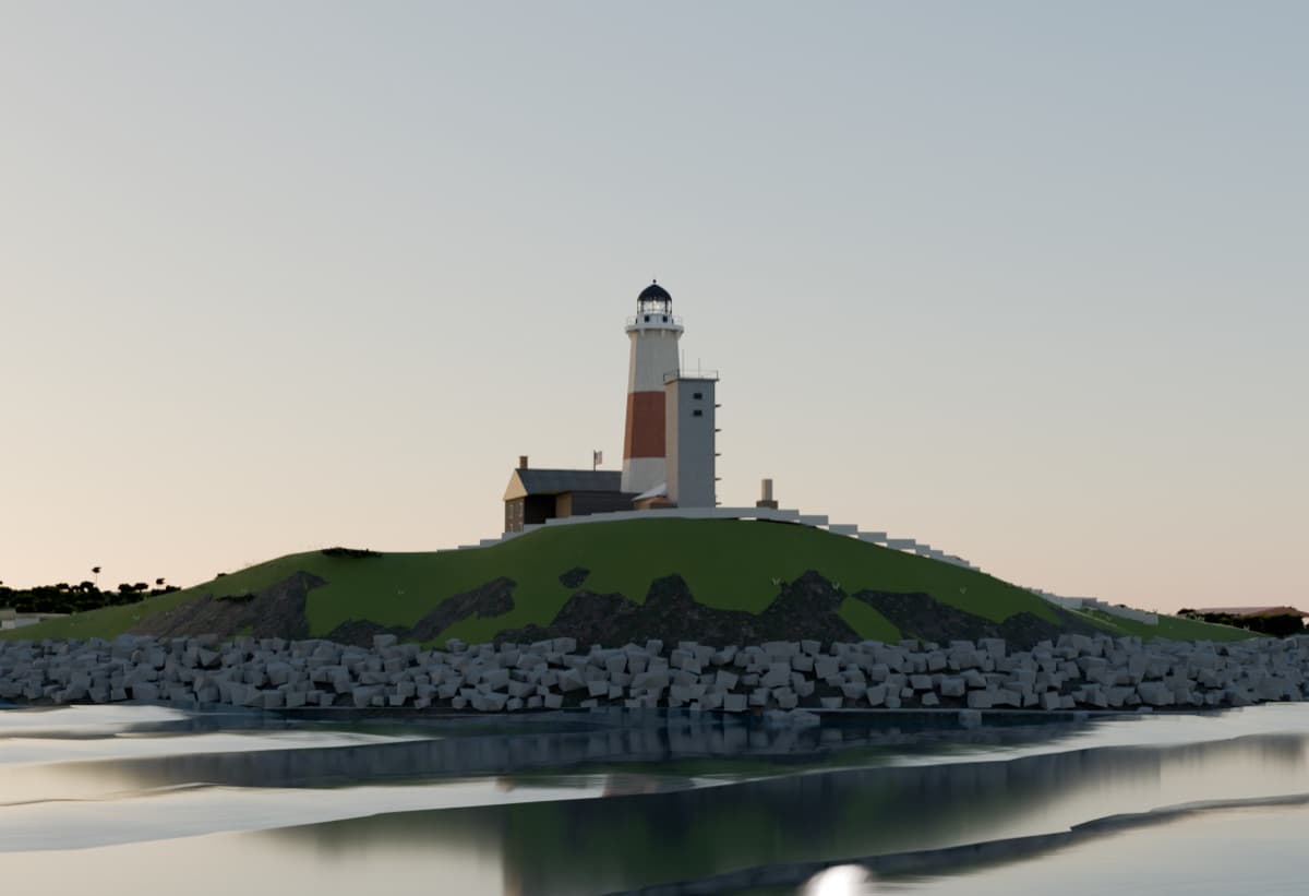
BENCH-3 · hero render pipeline · golden hour
The finals chain: path tracing, spectral atmosphere, procedural vegetation, textured ocean. Next rungs on the ladder: cloud systems, breaking surf at the revetment toe, film grade.
The ladder — same shot, one day
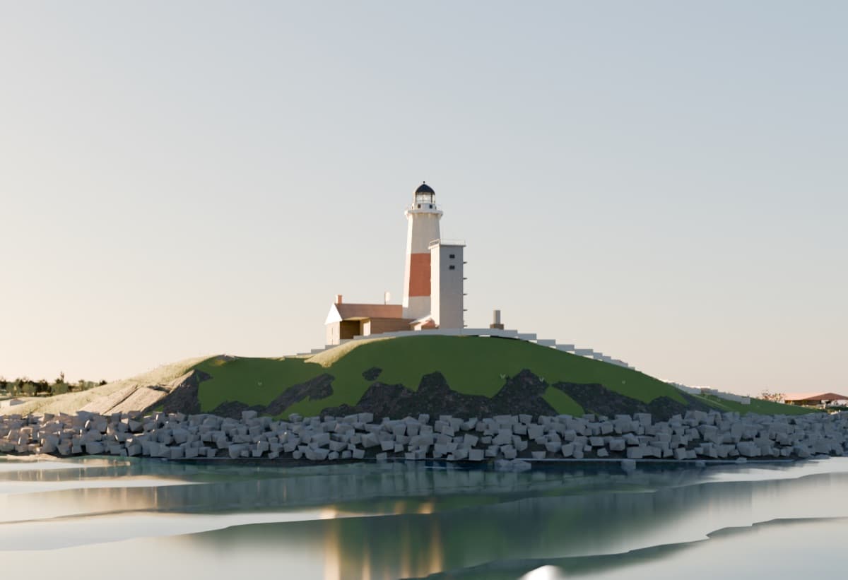
V1 · CYCLES BASELINE
path-traced light replaces real-time flatness
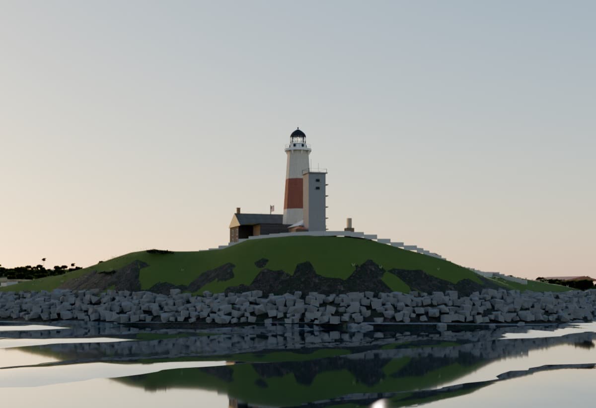
V2 · SKY + TREES
spectral atmosphere; procedural pines on the skyline
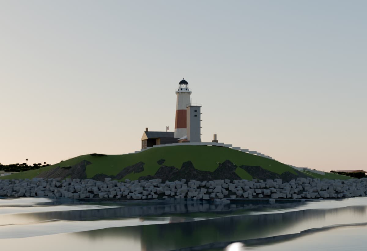
V3 · LIVING OCEAN
the mirror broken — textured evening water
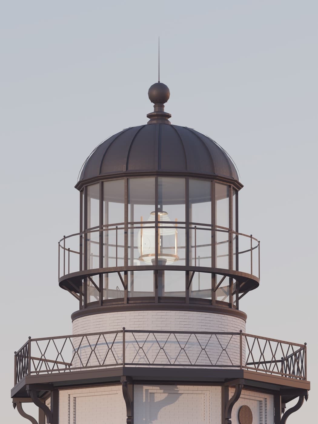
V4 · THE GATE
calibrated color, audited geometry — the eye rules
The full story is in the journal.
Build status · Digital Montauk
| 0 · Truth registries | SHIPPED | 236 subjects, every value with source + confidence |
| 1 · Prefab workshop | ACTIVE | radar at documents grade; lighthouse mid-campaign, 102 verdicts, adversarial audits |
| 2 · Assembler | QUEUED | one command rebuilds the world from source |
| 3 · Quality gates | ACTIVE | render galleries, measurement checks |
| 4 · Full lidar | QUEUED | 1 m bare-earth terrain + canopy heights |
| 5 · Simulation layer | SHIPPED | tides · waves · 180 years of storms · eras 1842–2023 |
§ MEASUREMENT — lidar beats photogrammetry beats drawings beats photos beats press. Every number lives in a registry with its source.
§ SCOPE — hero, survey, backdrop. No hand-built geometry without a shot that needs it.
§ ERAS — history is gated: the coastal guns and the radar never share a frame.